06 May 2018
Jupyter notebook is a powerful tool to interactively code in web-based notebooks with a whole plethora of programming languages. With it, it is also possible to create web-based slideshows with reveal.js.
22 Apr 2018
Here we’ll take a look at how to work with MultiIndex or also called Hierarchical Indexes in Pandas and Python on real world data. Hierarchical indexing enables you to work with higher dimensional data all while using the regular two-dimensional DataFrames or one-dimensional Series in Pandas.
24 Mar 2018
Blender is a wonderful and free 3D modelling tool, but sometimes you need to work with it without the GUI. Luckily Blender supports that and you can work there and do your thing very easily with Python.
18 Mar 2018
In this tutorial we will cover how to use the Pandas DataFrame groupby function while having an excursion to the Split-Apply-Combine Strategy for data analysis. The Split-Apply-Combine strategy is a process that can be described as a process of splitting the data into groups, applying a function to each group and combining the result into a final data structure.
09 Mar 2018
When working with GPS, it is sometimes helpful to calculate distances between points. But simple Euclidean distance doesn’t cut it since we have to deal with a sphere, or an oblate spheroid to be exact. So we have to take a look at geodesic distances.
04 Mar 2018
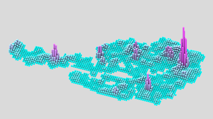
Have you ever wondered where most Biergarten in Germany are or how many banks are hidden in Switzerland? OpenStreetMap is a great open source map of the world which can give us some insight into these and similar questions. There is a lot of data hidden in this data set, full of useful labels and geographic information, but how do we get our hands on the data?
19 Feb 2018
Here we’ll see how to work with missing values in a Pandas DataFrame on a data set from the World Bank Open Data of the Global Economic Monitor.
06 Dec 2017
There are times being stuck with a load of images that need to be cropped, resized or converted, but doing this by hand in an image editor is tedious work. One tool I commonly use in these desperate situations is ImageMagick, which is a powerful tool when automating raster and vector image processing. Here I’ll introduce a few common commands I had to look up multiple times.
29 Nov 2017
You have a list of addresses, but you need to get GPS coordinates to crunch some numbers. Don’t despair, there is geocoding for this and Python provides some simple means to help to deal with the APIs out there.
16 Sep 2017
Sometimes you need other packages when scripting in Blender. Blender already includes Numpy in its newer versions out of the box which is quite handy. However I often have the need to install new packages to use for my own scripts and add-ons. There is also a way to use an already installed version of Anaconda which I’ll show in this post. It worked for me for Blender 2.77 and 2.79 on Windows.
 Creating Slides with Jupyter Notebook
 Working with MultiIndex and Pivot Tables in Pandas and Python
 Using the Blender Interactive Console from the Command-Line
 Working with Pandas Groupby in Python and the Split-Apply-Combine Strategy
 Calculate Distance Between GPS Points in Python
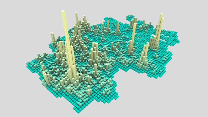 Loading Data from OpenStreetMap with Python and the Overpass API
 Working with Missing Values in Pandas
 Command-Line Image Processing with ImageMagick
 Batch Geocoding with Python
 Using Anaconda in Blender